
Platform

Wildfire risk prediction with AI and satellite data

SilvIA Earth combines artificial intelligence and satellite data to estimate wildfire risk across your territory. Continuous monitoring, even at night and under cloud cover.

Spot risk hotspots, get a clear analysis and prioritise your resources on the ground.

ESA Business Incubation Centre Madrid Region

SilvIA Earth is participating in the ESA Business Incubation Centre Madrid Region

Universidad Carlos III de Madrid, C3N-IA

UC3M Science Park, C3N-IA Incubator

NVIDIA Inception Program

Member of the NVIDIA Inception program

© 2025 NVIDIA, the NVIDIA logo, and NVIDIA Inception are trademarks and/or registered trademarks of NVIDIA Corporation in the U.S. and other countries.

The three layers of SilvIA Earth

Monitor, analyse and understand

Monitoring that never switches off, in-depth analysis when it is needed and a layer that turns everything into action priorities.

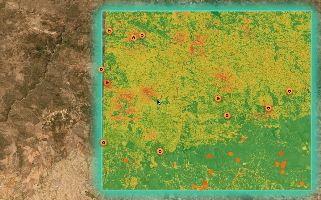
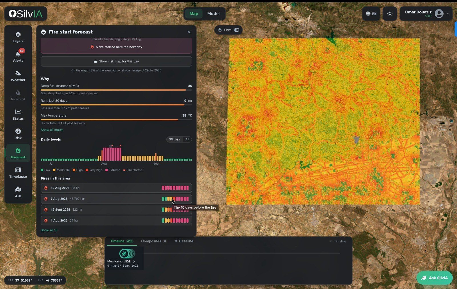
  1. The risk map of your territory. Continuous monitoring, by day, by night and through cloud, of the areas each client defines. It calculates where ignition is most likely, issues georeferenced alerts and keeps the state of the forest cover up to date.

    • Day, night and cloud cover
    • Georeferenced alerts
    • Forest cover status
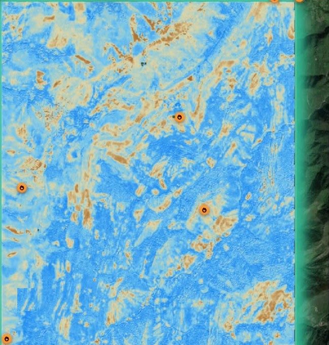
SilvIA Earth wildfire risk map over a satellite image, with risk zones and hotspots marked SilvIA Analysis fire-start forecast panel showing risk drivers, daily levels and fires recorded in the area SilvIA Assistant drafting an action plan for Somiedo over the vegetation moisture map
Comparison

SilvIA Earth versus the traditional approach

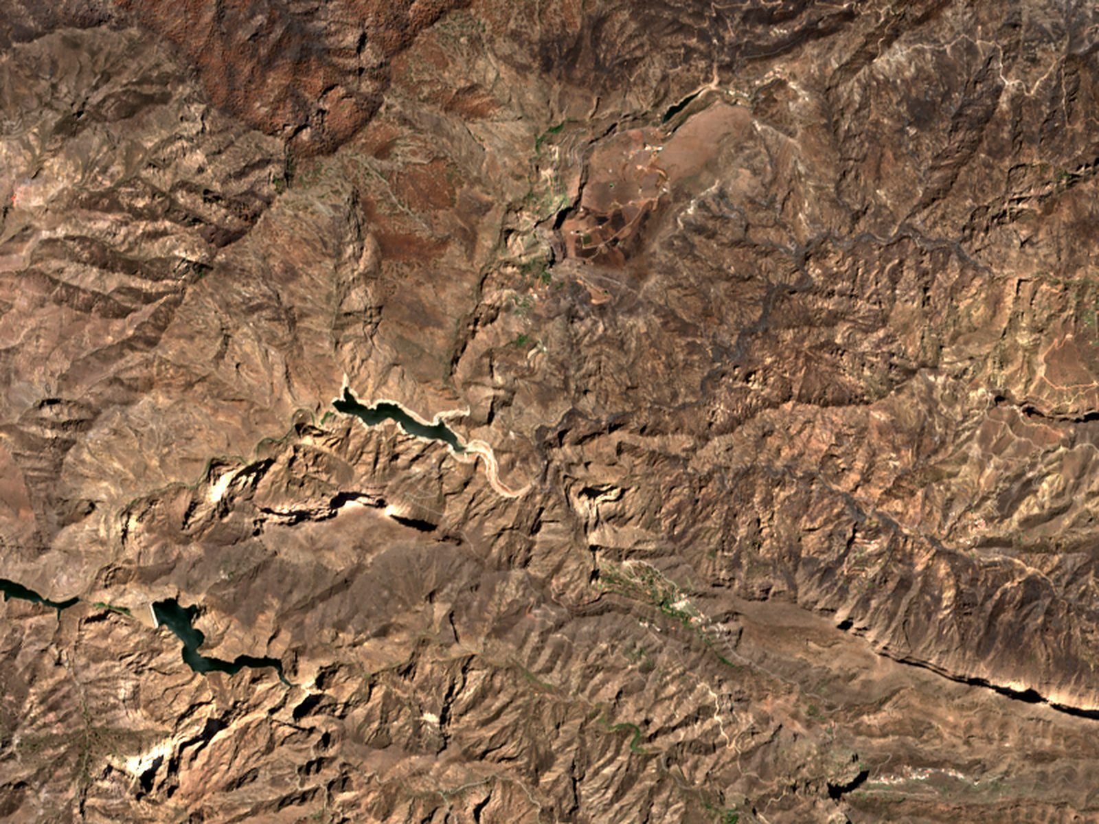
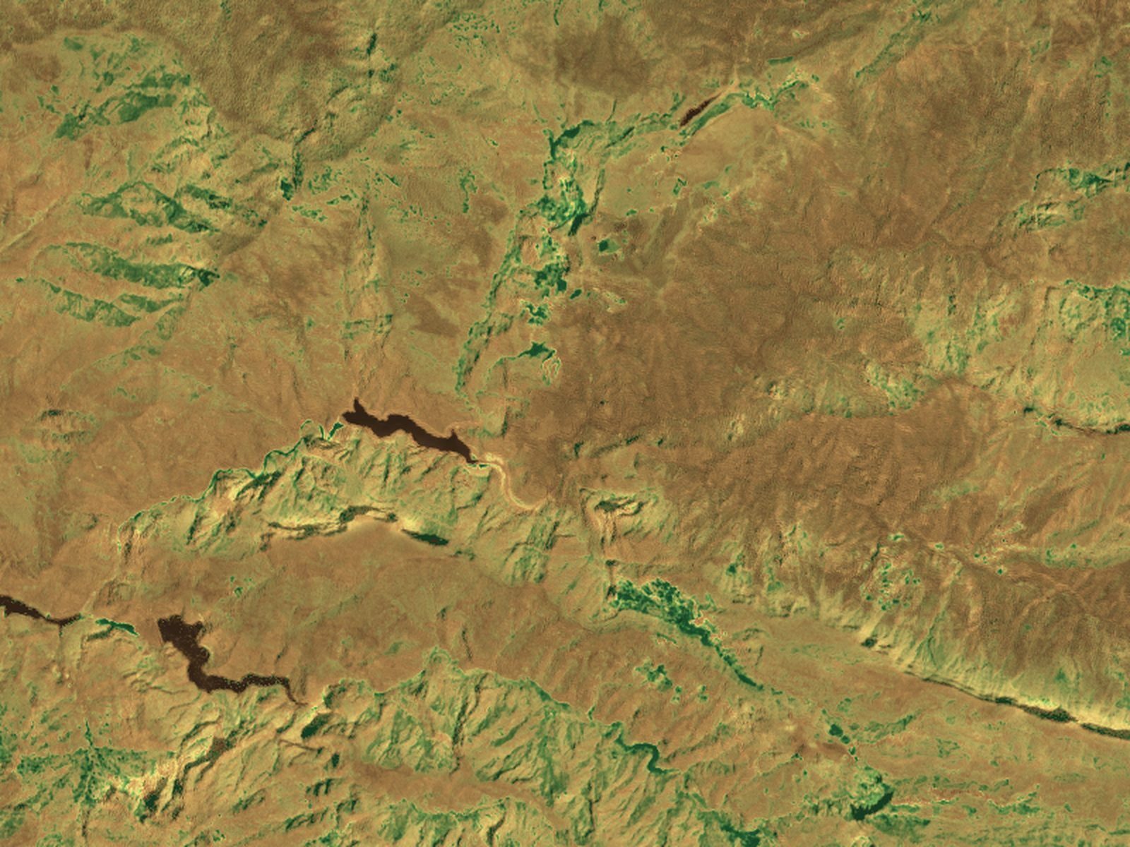
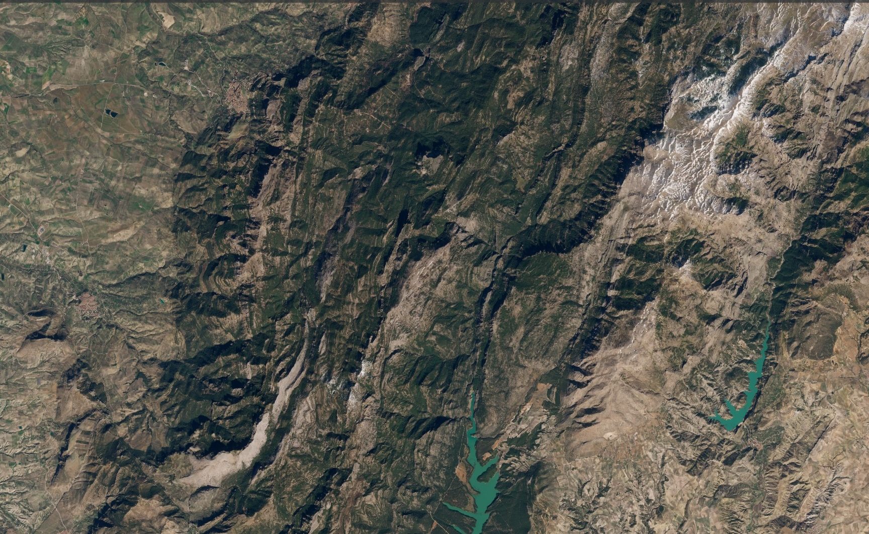
Sentinel-2 image of the Sierra de Cazorla (Jaén, Spain)
Sierra de Cazorla, Jaén · Sentinel-2
Traditional approach

Field inspections and flyovers only reach part of the territory, with weeks between one visit and the next.

SilvIA Earth

SilvIA Earth regularly monitors 100% of the area of interest.

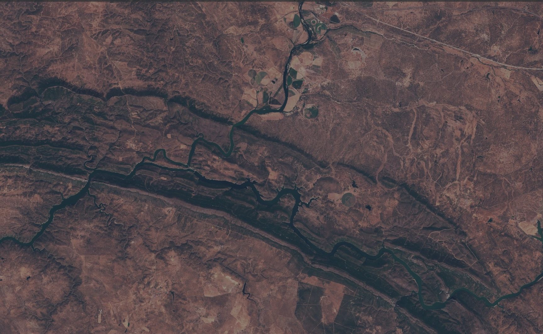
Sentinel-2 image of Monfragüe (Cáceres, Spain)
Monfragüe, Cáceres · Sentinel-2
Traditional approach

Current fire danger indices rely mainly on weather data and cover very large areas.

SilvIA Earth

SilvIA Earth refines the risk estimate at local scale, adapted to the specific conditions of the monitored area.

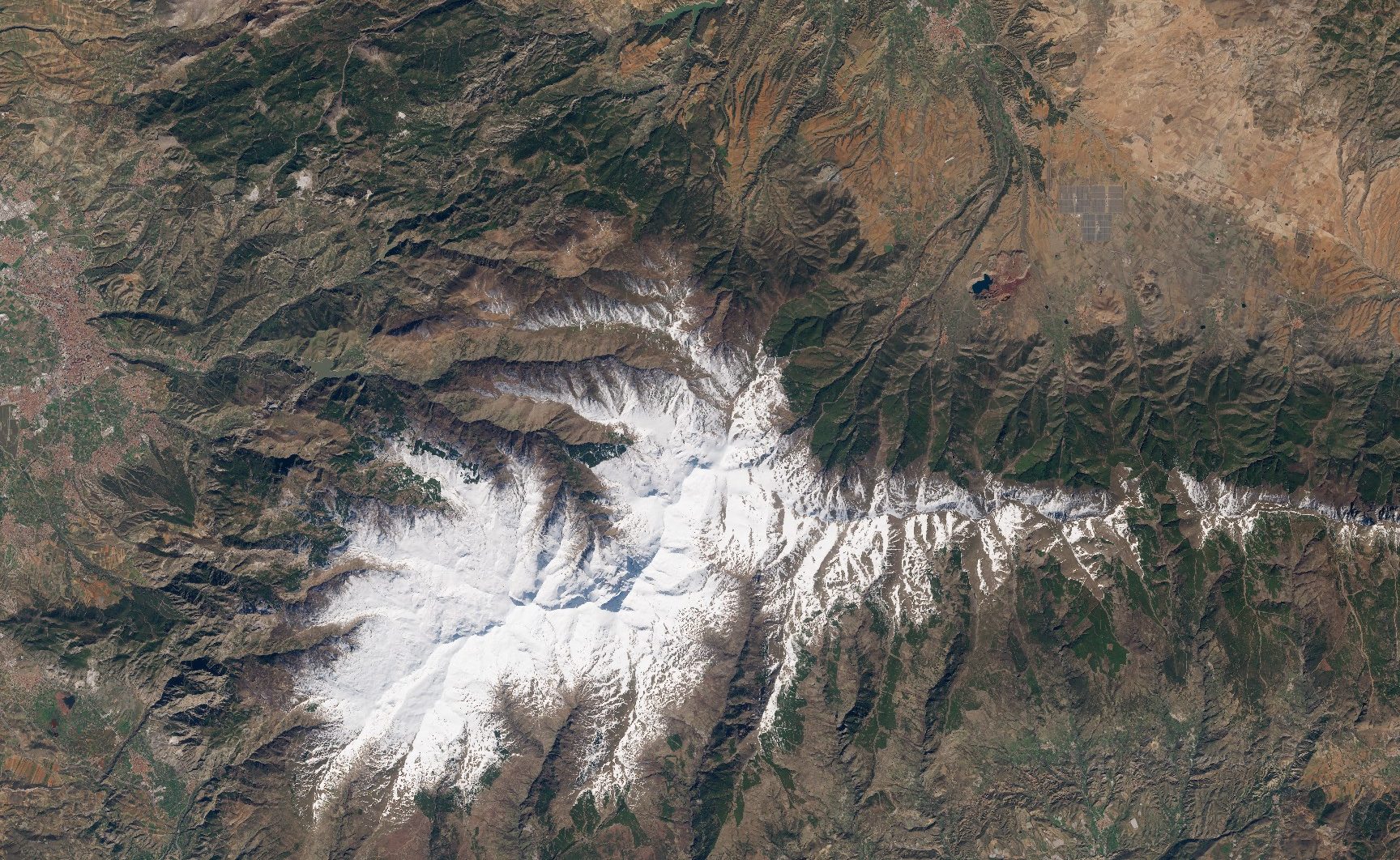
Sentinel-2 image of Sierra Nevada (Granada, Spain)
Sierra Nevada, Granada · Sentinel-2
Traditional approach

Traditional indices assess danger in aggregate, without showing the model’s margin of error.

SilvIA Earth

SilvIA Earth shows the probability for each zone together with the confidence level of the forecast.

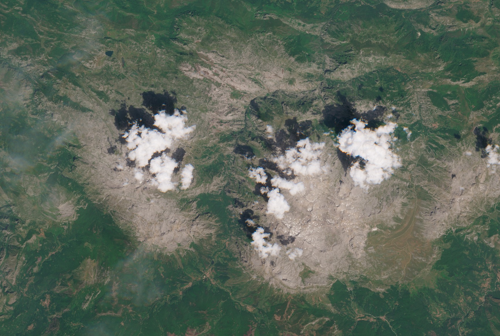
Sentinel-2 image of the Picos de Europa (Spain)
Picos de Europa · Sentinel-2
Traditional approach

Field resources are deployed on the basis of general estimates or fixed routines.

SilvIA Earth

SilvIA Earth provides a continuous view of the territory so that inspection campaigns and trips go where they are needed most.

Who it is for

Who SilvIA Earth works for

01 · ASSETS

Companies and infrastructure

Protect your own assets and mitigate civil liability risks.

  • Electricity distributors
  • Linear transport (rail, roads)
  • Renewable plants on rural land
  • Agroforestry estates
  • Managers of natural areas and large landholdings
  • Other private operators with assets bordering forest land
See the solution for companies
02 · TERRITORY

Public sector

Decide where to prevent fires and how to make the most of public resources.

  • Regional governments
  • Provincial councils
  • Municipalities
  • Civil protection or emergency agencies with forestry responsibilities
See the solution for the public sector
FAQ

Frequently asked questions

What is the difference between predicting and detecting a wildfire?

Detection systems raise the alarm once there is already a fire. SilvIA Earth estimates where one is most likely to start, so prevention can arrive first. The two complement each other.

Does it replace official fire danger indices or field surveillance?

No. SilvIA Earth adds to the systems already in place and helps decide where to focus prevention and inspection resources.

Does it require installing sensors or equipment on the ground?

No. SilvIA Earth runs entirely on data and our own predictive AI models, with no need to deploy sensors or physical infrastructure in the area.

Which areas can be monitored, and in how much detail?

Any area of interest the client defines. The level of detail is set by the platform’s resolution, which is the same for every area, and the demo shows what information it provides for that specific area.

Does it work outside Spain?

Wildfire risk does not respect administrative borders, and neither does the model: it works on the conditions of each territory. We are adapting it to work in any region, and each case outside Spain is assessed in the meeting.

How does it integrate with our tools?

Through a web viewer, reports and export in standard GIS formats, so the results can be used in the systems each organisation already has.

How reliable are the results?

Every result comes with its confidence level. Validation results are presented in the meeting, on the client’s area of interest whenever possible.

How is it contracted and how much does it cost?

Each proposal is tailored to the area covered, how the data will be used and, for public bodies, the applicable procurement procedure. The first step is a meeting with the founding team.

Meet the team

SilvIA Earth on your organisation’s territory

Just tell us which area you manage and the founding team will set up a meeting to show you what SilvIA Earth can do on your land.

Book a meeting with the team