
Tomorrow’s wildfire is already predictable in today’s data.

SilvIA Earth: AI and satellite data for wildfire prevention

We predict where the next wildfire is most likely to start, using satellite data and predictive artificial intelligence models calibrated for each ecosystem.

We help you prioritize where to prevent, how much to insure and when to act.

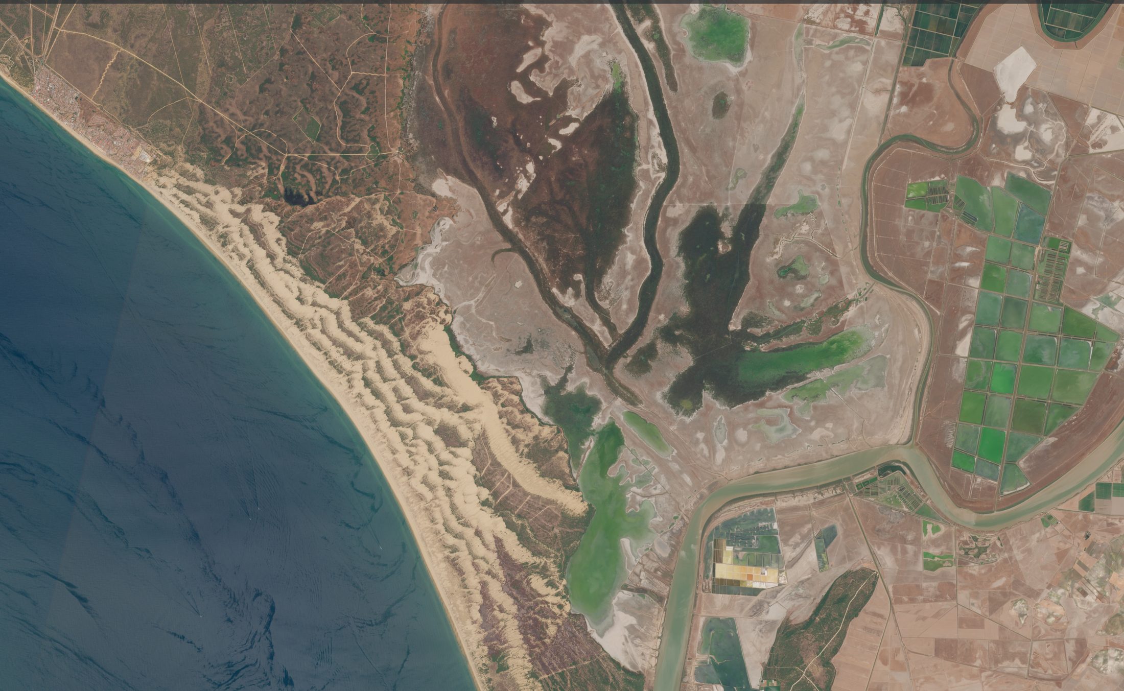
Doñana, HuelvaSentinel-2, Copernicus

SilvIA Earth is participating in the ESA Business Incubation Centre Madrid Region

C3N-IA incubator at the UC3M Science Park, in Leganés

Member of the NVIDIA Inception program

© 2025 NVIDIA, the NVIDIA logo, and NVIDIA Inception are trademarks and/or registered trademarks of NVIDIA Corporation in the U.S. and other countries.

How SilvIA Earth works

Satellite monitoring, land analysis and support for prevention plans

Our model flags the areas most likely to ignite up to 10 days before the first spark. Our role is to anticipate risk so that whoever manages the land can decide with more and better information (already processed and ready for action).

See the platform
Evaluation

10% of the land, 73% of what burned

On average, the 10% of the land that the model flagged as highest risk accounted for 73% of the burned area.

In that same 10% of the land, by method
  • SilvIA Earth73%Average
  • Historical fire map18–40%Varies by season
  • FWI weather index4–12%Varies by season
  • Random selection10%Baseline

Retrospective evaluation in Andalusia, Castilla-La Mancha and Castilla y León, 2017 to 2024 seasons. For each season, the model was trained only on data from previous years.

See the platform
Evaluation

10% of the land, 73% of what burned

On average, 73% of the burned area fell within the 10% of the land that the model had flagged as highest risk.

In that same 10%, by method
  • SilvIA Earth73%
  • Historical fire map18–40%
  • FWI weather index4–12%
  • Random selection10%

Retrospective evaluation in Andalusia, Castilla-La Mancha and Castilla y León, 2017 to 2024 seasons. For each season, the model was trained only on data from previous years.

of the burned area, within the flagged 10%
Prediction, not detection

SilvIA Earth
changes the approach:from reactive wildfire management to a predictive system

Almost all wildfire technology focuses its efforts on the same thing: raising the alarm when something is already burning so it can be put out. SilvIA Earth instead sets out to stop wildfires before the first flame appears.

Because the best time to act is before the fire starts, by reducing and mitigating risk.

Talk to the team
Who it’s for

One tool for different stakeholders

01 · Assets

Companies and forest owners

Decide when to act

If you manage farmland, forest land or exposed areas, SilvIA Earth helps you track how risk evolves and get alerts when it rises. That way you can decide where to step up monitoring, when to intervene and how to protect your resources.

  • Risk on your assets
  • Change alerts
  • Action reports
See the solution for companies
02 · Territory

Public agencies

Decide where to prevent

Not every area carries the same risk, and not every day calls for the same level of monitoring. SilvIA Earth identifies where the probability of ignition is rising to help prioritize patrols, vegetation clearing and inspections before the critical season.

  • Forestry managers
  • Emergency services
  • Ignition risk at 1x1 km
  • Zone prioritization and recommended action plans
See the solution for public agencies
Contact

Act before the fire starts.

Tell us what land you manage and we’ll show you how you can use SilvIA Earth on your ground.

Talk to the team